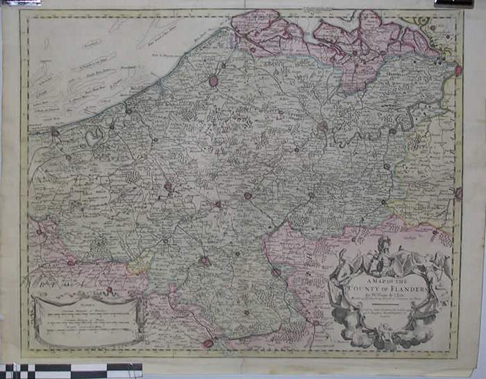
A map of the County of Flanders

CARLKXX00016
Gebied van Duinkerke tot Antwerpen
67 cm X 52,8 cm Ingekleurde gravure
Common Leauges of Flandres (11.2 cm = 5 mijl), Common leauges of France (11.2 cm = 6.5 mijl), British computed miles (11.2 cm = 15 mijl)
Kaarten plattegronden en plannen
Landkaarten
1704
William de l Isle (Guillaume de l Isle)