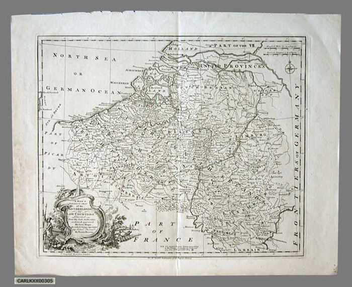
A new correct map of the Netherlands or Low Countries drawn from the best authorities and most approved modern maps

CARLKXX00305
Ongeveer het huidige België
links onder uitgewerkte cartouche met oorlogstafereel en landbouwtafereel, speciale aanduiding van de barrièresteden
Gravure, 47 X 43
Zie ook CARLKXX00304
Kaarten plattegronden en plannen
Landkaarten
1758 (?)
Eman Bowen